

Macro of Poland on a globe, narrow depth of field
Коллекция по умолчанию
Коллекция по умолчанию
Создать новую

Boundaries of Parana State - mideast Brazil
Коллекция по умолчанию
Коллекция по умолчанию
Создать новую

Line art Poland map. continuous line europe map. vector illustration. single outline. Vector illustration
Коллекция по умолчанию
Коллекция по умолчанию
Создать новую

Sweden Stockholm, 07 April 2018: European cities on map series. Closeup of Padova
Коллекция по умолчанию
Коллекция по умолчанию
Создать новую

Close up shot of the Japanese map.
Коллекция по умолчанию
Коллекция по умолчанию
Создать новую

Beautiful panoramic aerial drone view on Warsaw Old town (POL: Stare Miasto) with modern skyscrapers on the horizon, square and the Column of Sigismund III Vasa at sunset, Poland.
Коллекция по умолчанию
Коллекция по умолчанию
Создать новую

Red clerical needle on a map of the USA, Arizona and the capital Phoenix. Close up map of orizona with red tack, US map pin
Коллекция по умолчанию
Коллекция по умолчанию
Создать новую

Orographic map of the southern region of Portugal. With references in Spanish. Concept of cartography, travel, tourism, geography. differential focus
Коллекция по умолчанию
Коллекция по умолчанию
Создать новую

Map of Poland on cracked texture isolated on white
Коллекция по умолчанию
Коллекция по умолчанию
Создать новую

Macro of Poland on a globe, narrow depth of field
Коллекция по умолчанию
Коллекция по умолчанию
Создать новую

Poland
Коллекция по умолчанию
Коллекция по умолчанию
Создать новую

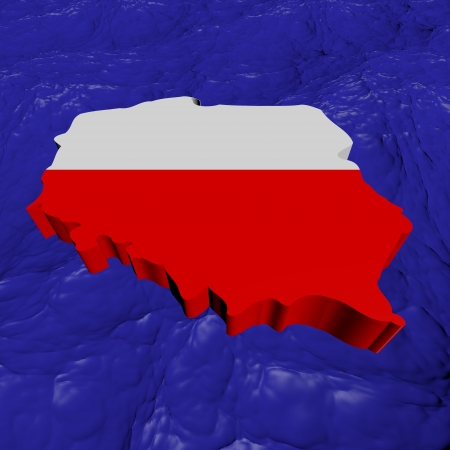
Map of Poland in National flag colors
Коллекция по умолчанию
Коллекция по умолчанию
Создать новую

A Squared Background with the country shape of Poland
Коллекция по умолчанию
Коллекция по умолчанию
Создать новую

Map of Czech republic in red on globe. 3D illustration
Коллекция по умолчанию
Коллекция по умолчанию
Создать новую

A Map of the country of Poland
Коллекция по умолчанию
Коллекция по умолчанию
Создать новую
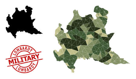
Lowpoly mosaic map of Lombardy region, and unclean military stamp imitation. Lowpoly map of Lombardy region is designed of scattered khaki filled triangles.
Коллекция по умолчанию
Коллекция по умолчанию
Создать новую

set of 4 gold political maps of Switzerland with regions isolated on transparent background
Коллекция по умолчанию
Коллекция по умолчанию
Создать новую

Isometric paper map of Albania with triangular flag of Albania in isometric style. Map on topographic background. Vector illustration.
Коллекция по умолчанию
Коллекция по умолчанию
Создать новую

Cleveland road map area. Closeup macro view
Коллекция по умолчанию
Коллекция по умолчанию
Создать новую

Global network connection over the world. 3d rendering toned image
Коллекция по умолчанию
Коллекция по умолчанию
Создать новую

Lublin on the map of Poland with softly striped vintage background.
Коллекция по умолчанию
Коллекция по умолчанию
Создать новую

Geographical Map of Romania with Counties with Regions with Shadows
Коллекция по умолчанию
Коллекция по умолчанию
Создать новую

A Poland map with the main cities labels
Коллекция по умолчанию
Коллекция по умолчанию
Создать новую

Kuyavia-Pomerania on the map of Poland in soft grunge and vintage style, like old paper with watercolor painting.
Коллекция по умолчанию
Коллекция по умолчанию
Создать новую

Close-up view of the roads on the map around the Trentino region of South Tyrol, Italy, May 2020
Коллекция по умолчанию
Коллекция по умолчанию
Создать новую

Textured map of Poland in nice colors
Коллекция по умолчанию
Коллекция по умолчанию
Создать новую

Three-dimensional map of Poland. 3d
Коллекция по умолчанию
Коллекция по умолчанию
Создать новую

Czech republic on globe with realistic blue water and shiny metallic continents. 3D illustration
Коллекция по умолчанию
Коллекция по умолчанию
Создать новую

Map and flag of Poland
Коллекция по умолчанию
Коллекция по умолчанию
Создать новую

Poland political map of administrative divisions - voivodeships. Flat vector map with name labels. Brown - orange color scheme.
Коллекция по умолчанию
Коллекция по умолчанию
Создать новую

WOODBRIDGE, NEW JERSEY / USA - January 29, 2020: A portion of China is shown on a vintage map from a Hammond's world atlas in this illustrative editorial image.
Коллекция по умолчанию
Коллекция по умолчанию
Создать новую

Hauptplatz main square aerial panoramic view in Landsberg am Lech. Landsberg am Lech is a town in southwest Bavaria, Germany.
Коллекция по умолчанию
Коллекция по умолчанию
Создать новую

Beautiful panoramic aerial drone view on Warsaw Old town (POL: Stare Miasto) with modern skyscrapers on the horizon, square and the Column of Sigismund III Vasa at sunset, Poland.
Коллекция по умолчанию
Коллекция по умолчанию
Создать новую
KIEV, UKRAINE - JANUARY 14, 2020: Old collection of maps and the atlases
Коллекция по умолчанию
Коллекция по умолчанию
Создать новую

Old Town of Przemysl, Poland. View from the Clock Tower.
Коллекция по умолчанию
Коллекция по умолчанию
Создать новую

Magnetic compass. The concept of finding successful solutions to problems. Compass, map, sleeves, hands.
Коллекция по умолчанию
Коллекция по умолчанию
Создать новую

Scenic spring panoramic aerial view of the Old Town pier architecture
Коллекция по умолчанию
Коллекция по умолчанию
Создать новую
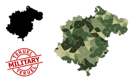
Low-Poly mosaic map of Teruel Province, and scratched military stamp print. Low-poly map of Teruel Province constructed from scattered camouflage filled triangles.
Коллекция по умолчанию
Коллекция по умолчанию
Создать новую

Map of Europe and Belarus. 3d
Коллекция по умолчанию
Коллекция по умолчанию
Создать новую

Map of Warzawa
Коллекция по умолчанию
Коллекция по умолчанию
Создать новую

Map and flag of Poland on felt
Коллекция по умолчанию
Коллекция по умолчанию
Создать новую

Poland map 3D illustration. 3D rendering image and part of the series.
Коллекция по умолчанию
Коллекция по умолчанию
Создать новую

Vintage Travel Map With The Word Explore Spelled Out, Symbolizing Adventure And Exploration
Коллекция по умолчанию
Коллекция по умолчанию
Создать новую

Aerial view of the Christmas tree near Castle Square with Column of Sigismund
Коллекция по умолчанию
Коллекция по умолчанию
Создать новую

Prague Architecture of the ancient European city
Коллекция по умолчанию
Коллекция по умолчанию
Создать новую

Magnetic compass. The concept of finding successful solutions to problems. Compass, map, sleeves, hands.
Коллекция по умолчанию
Коллекция по умолчанию
Создать новую

Political map Lithuania in red. 3D illustration with watery blue oceans and metallic landmasses.
Коллекция по умолчанию
Коллекция по умолчанию
Создать новую

Wroclaw Rynek Square, aerial view. View from above on main market square in Wroclaw with walking tourists during Christmas holidays.
Коллекция по умолчанию
Коллекция по умолчанию
Создать новую

Aerial view of the Christmas tree near Castle Square with Column of Sigismund
Коллекция по умолчанию
Коллекция по умолчанию
Создать новую

Poland map. Map of Poland in administrative regions
Коллекция по умолчанию
Коллекция по умолчанию
Создать новую

Top-down view of Belarus highlighted in red with surrounding region. 3D illustration with highly detailed realistic planet surface.
Коллекция по умолчанию
Коллекция по умолчанию
Создать новую

Creative conceptual design. Knitted texture of map of Poland as a symbol of heating season in country. Gas transportation crisis
Коллекция по умолчанию
Коллекция по умолчанию
Создать новую

COVID-19 coronavirus pandemic on the map of Europe with red dots of infection centers. The spread of coronavirus in the European Union. The concept of infection COVID-19.
Коллекция по умолчанию
Коллекция по умолчанию
Создать новую

03-01-2021 Portsmouth, Hampshire, UK Luxembourg Shown on a road map or Geography map and atlas
Коллекция по умолчанию
Коллекция по умолчанию
Создать новую

Romania - country shape with lines connecting major cities
Коллекция по умолчанию
Коллекция по умолчанию
Создать новую

Suriname network map. Abstract geometric map of the country. Digital connections and telecommunication design. Glowing internet network. Trendy vector illustration.
Коллекция по умолчанию
Коллекция по умолчанию
Создать новую

Czech republic in red on simple grey political globe with visible country borders. 3D illustration.
Коллекция по умолчанию
Коллекция по умолчанию
Создать новую

Map of Slovakia. Shows country borders, urban areas, place names and roads.
Коллекция по умолчанию
Коллекция по умолчанию
Создать новую

Car registration book. Polish documents.
Коллекция по умолчанию
Коллекция по умолчанию
Создать новую

Map of Democratic Republic of the Congo on green felt
Коллекция по умолчанию
Коллекция по умолчанию
Создать новую

Illuminated Belgium Data Map Highlighting Geographical Features Neon Glow Light 3D Illustration
Коллекция по умолчанию
Коллекция по умолчанию
Создать новую

Wejherowo, Poland - June 5, 2022: Beautiful architecture of the old town in Wejherowo in summer, Poland
Коллекция по умолчанию
Коллекция по умолчанию
Создать новую

WARSAW, POLAND - JUN 2, 2015: One of the street Warsaw Old town (Stare Miasto) is the oldest historic district of Warsaw (13th century). Old town is one of most famous tourist attractions of Warsaw.
Коллекция по умолчанию
Коллекция по умолчанию
Создать новую

Brooklyn, New York is the center of focus on an old map.
Коллекция по умолчанию
Коллекция по умолчанию
Создать новую
Poland map flag in abstract ocean illustration
Коллекция по умолчанию
Коллекция по умолчанию
Создать новую

Scenic spring panoramic aerial view of the Old Town pier architecture
Коллекция по умолчанию
Коллекция по умолчанию
Создать новую

Panoramic view of Warsaw at night in Poland
Коллекция по умолчанию
Коллекция по умолчанию
Создать новую

Stara Boleslav Town with Church of the Assumption of Mary, Czech Republic. Aerial view from drone.
Коллекция по умолчанию
Коллекция по умолчанию
Создать новую

Map of Belle Ile. Low poly illustration of the island. Geometric design with stripes. Technology, internet, network concept. Vector illustration.
Коллекция по умолчанию
Коллекция по умолчанию
Создать новую

Beautiful panoramic aerial drone view (360 spherical panorama little planet)) on Warsaw Old town (POL: (Stare Miasto), square and the Column of Sigismund III Vasa at sunset, Poland.
Коллекция по умолчанию
Коллекция по умолчанию
Создать новую

A Country Shape isolated on background of the country of Poland
Коллекция по умолчанию
Коллекция по умолчанию
Создать новую

Kosovo from space with highly detailed surface textures and visible country borders. 3D illustration.
Коллекция по умолчанию
Коллекция по умолчанию
Создать новую

WARSAW, POLAND - JUNE 10, 2017. Tourists walk along old town street
Коллекция по умолчанию
Коллекция по умолчанию
Создать новую

Close-up of Poland national flag waving in the wind on a clear day. Two horizontal white and red stripes with coat of arms. 3d illustration render. Rippling fabric.
Коллекция по умолчанию
Коллекция по умолчанию
Создать новую

Map of Austria in red on grey political globe. 3D illustration.
Коллекция по умолчанию
Коллекция по умолчанию
Создать новую

Cambodia political map of administrative divisions
Коллекция по умолчанию
Коллекция по умолчанию
Создать новую

Map of Poland
Коллекция по умолчанию
Коллекция по умолчанию
Создать новую

Moldova from space with highly detailed surface textures and visible country borders. 3D illustration.
Коллекция по умолчанию
Коллекция по умолчанию
Создать новую

Warsaw downtown panorama
Коллекция по умолчанию
Коллекция по умолчанию
Создать новую

Folded map of Afghanistan in three different versions. Vector map of Afghanistan.
Коллекция по умолчанию
Коллекция по умолчанию
Создать новую

3D Illustration Map Outline of Poland with the Polish Flag
Коллекция по умолчанию
Коллекция по умолчанию
Создать новую

Lublin old town with a bird's eye view. Tourist attractions and sights Lublin.
Коллекция по умолчанию
Коллекция по умолчанию
Создать новую
Poland Map
Коллекция по умолчанию
Коллекция по умолчанию
Создать новую

Red pin on map of USA pointing at Detroit
Коллекция по умолчанию
Коллекция по умолчанию
Создать новую

Hand hold red heart over Castle square in Warsaw
Коллекция по умолчанию
Коллекция по умолчанию
Создать новую
Slovakia on blue political globe. 3D illustration.
Коллекция по умолчанию
Коллекция по умолчанию
Создать новую

A Map of the country of Poland
Коллекция по умолчанию
Коллекция по умолчанию
Создать новую

Poland map 3D with states and clipping path
Коллекция по умолчанию
Коллекция по умолчанию
Создать новую

architecture gdansk, old city in europe
Коллекция по умолчанию
Коллекция по умолчанию
Создать новую

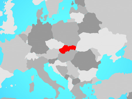
Visegrad Group on simple political globe. 3D illustration.
Коллекция по умолчанию
Коллекция по умолчанию
Создать новую
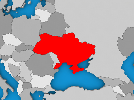
Map of Ukraine on globe highlighted in red. 3D illustration
Коллекция по умолчанию
Коллекция по умолчанию
Создать новую

Ukraine Map World map News Communication logistics blue
Коллекция по умолчанию
Коллекция по умолчанию
Создать новую

Satellite night view of Turkey highlighted in red on planet Earth. 3D illustration.
Коллекция по умолчанию
Коллекция по умолчанию
Создать новую

opolskie region on administration map of poland with flag of other polish provinces
Коллекция по умолчанию
Коллекция по умолчанию
Создать новую

Hand marking Paris on map with red pin
Коллекция по умолчанию
Коллекция по умолчанию
Создать новую
Vector Map of Novosibirsk Region. Mosaic of green grape leaves, wine bottles. Map of Novosibirsk Region mosaic created with bottles, berries, green leaves. Abstract mosaic designed for bars agitprop.
Коллекция по умолчанию
Коллекция по умолчанию
Создать новую

Poland map on Poland flag drawing ,grunge and retro flag series
Коллекция по умолчанию
Коллекция по умолчанию
Создать новую

Map of Estonia. 3d
Коллекция по умолчанию
Коллекция по умолчанию
Создать новую

Map of the Poland with administrative divisions of the country into makroregion and 16 provinces (voivodeships), detailed vector illustration
Коллекция по умолчанию
Коллекция по умолчанию
Создать новую

Lubusz on the map of Poland in soft grunge and vintage style, like old paper with watercolor painting.
Коллекция по умолчанию
Коллекция по умолчанию
Создать новую
Legion-Media
Создайте свои проекты на основе качественных стоковых фотографий и видео.


Copyright © Legion-Media.